How a school
rethinks the city
A new node on Via Giulia. The school turns its public ground over to the street, and pulls Piazza Moretta into its courtyard.
Via Giulia is one of Rome's straightest streets, a Renaissance attempt to rationalise a tangled medieval fabric. It worked, briefly. Today, between the river and the historic centre, the street is mostly used as a route, not a place. The school site sits on a missing tooth in the block.
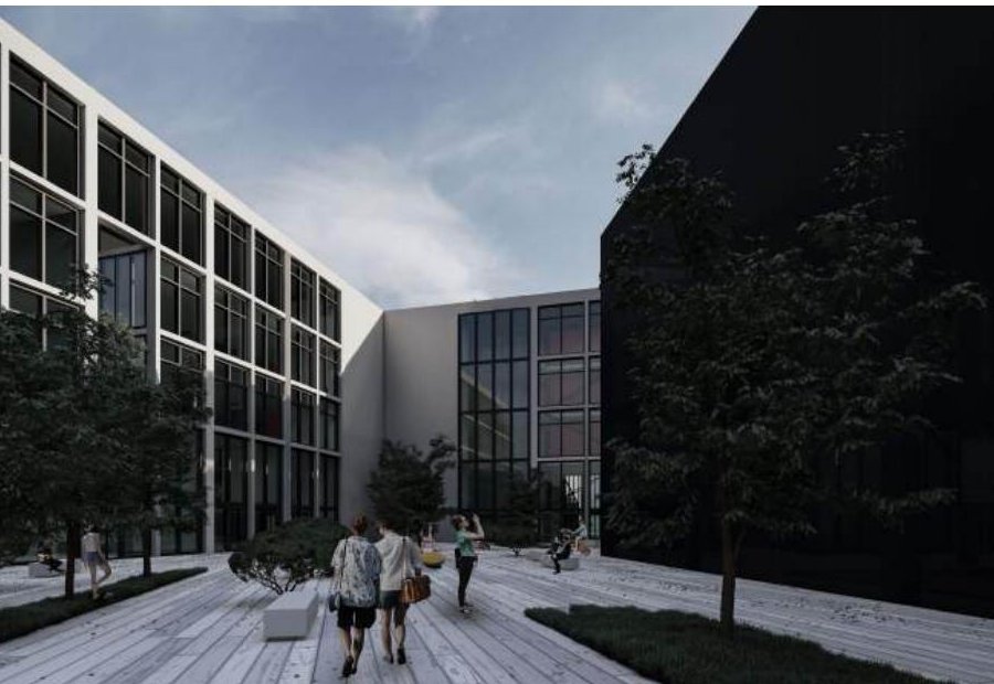
The project reads the city's matrix at three scales, nodes, routes, and plots, and treats the school as a new node. A pedestrian route runs through the building diagonally, opened to the public. The café spills into Piazza Moretta. The school's identity is performed against the street rather than hidden behind a wall.

A school is the only public building that everyone in the neighbourhood eventually passes through. Treat the ground floor like that, and the city changes shape around it.
Plan & elevation


The street elevation does what historic Roman elevations do, it lines up with the neighbours, holds the cornice, respects the rhythm of openings. But the section pulls back. A double-height café opens out to the piazza, then folds inward. The school's classrooms sit above and behind this public layer, accessed by their own staircase.
What I'm working out in this project, and again later in the master's thesis, is the question of how a single building can change the synchrony of a neighbourhood. Not by being big, but by being permeable.